[ 2006 | 2007 | 2008 | 2009 | 2010 | 2011 | 2012 | 2013 | 2014 | 2015 | 2016 | 2017 | 2018 | 2019 | 2020 | 2021 | 2022 | 2023 | 2024 ]
2008 Shelfwide Cruise: July 21 - July 27

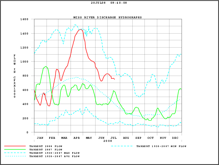
Hypoxia ForecastPress Release
Daily LogCruise Participants
Dissolved Oxygen MapsAdditional Maps
Interactive Google Map
Daily Log

- Chief Scientist Nancy thrown from top bunk to the floor.
COASTAL WATERS FROM THE SOUTHWEST PASS OF THE MISSISSIPPI RIVER
TO LOWER ATCHAFALAYA RIVER LA FROM 20 TO 60 NM-
1019 AM CDT WED JUL 23 2008...SMALL CRAFT ADVISORY REMAINS IN EFFECT THROUGH THURSDAY
MORNING...THIS AFTERNOON
SOUTHEAST WINDS 15 TO 20 KNOTS. SEAS 6 TO
8 FEET. SCATTERED SHOWERS AND THUNDERSTORMS LATE IN THE MORNING...
THEN NUMEROUS SHOWERS AND THUNDERSTORMS IN THE AFTERNOON.TONIGHT
SOUTHEAST WINDS 15 TO 20 KNOTS. SEAS 6 TO 8 FEET.
SCATTERED SHOWERS AND THUNDERSTORMS IN THE EVENING...THEN
ISOLATED SHOWERS AND THUNDERSTORMS AFTER MIDNIGHT.
- High seas, much hypoxia Nancyu2019s computer, fatal error on hard drive, saved latest files
- Nancyu2019s computer officially dead, will bury at sea
FINALLY, CALM SEAS, still much hypoxia
COASTAL WATERS FROM THE SOUTHWEST PASS OF THE MISSISSIPPI RIVER
TO LOWER ATCHAFALAYA RIVER LA FROM 20 TO 60 NM-
COASTAL WATERS FROM PASCAGOULA MS TO THE SOUTHWEST PASS OF THE
MISSISSIPPI RIVER FROM 20 TO 60 NM-
940 AM CDT FRI JUL 25 2008THIS AFTERNOON
SOUTH WINDS 5 TO 10 KNOTS BECOMING WEST LATE IN
THE AFTERNOON. SEAS 2 TO 3 FEET. ISOLATED SHOWERS AND
THUNDERSTORMS.TONIGHT
NORTHWEST WINDS 5 TO 10 KNOTS BECOMING WEST IN THE LATE
EVENING AND OVERNIGHT. SEAS 2 FEET. ISOLATED SHOWERS AND
THUNDERSTORMS.SATURDAY
WEST WINDS 10 KNOTS. SEAS 2 FEET. ISOLATED SHOWERS
AND THUNDERSTORMS.SATURDAY NIGHT
WEST WINDS 10 TO 15 KNOTS. SEAS 2 TO 3 FEET.
ISOLATED SHOWERS AND THUNDERSTORMS.SUNDAY
WEST WINDS 10 TO 15 KNOTS. SEAS 2 TO 3 FEET. ISOLATED
SHOWERS AND THUNDERSTORMS.SUNDAY NIGHT
SOUTHWEST WINDS 10 TO 15 KNOTS. SEAS 2 TO 3 FEET.
ISOLATED SHOWERS AND THUNDERSTORMS.MONDAY
WEST WINDS 10 KNOTS. SEAS 2 FEET. ISOLATED SHOWERS AND
THUNDERSTORMS.MONDAY NIGHT
WEST WINDS 10 TO 15 KNOTS. SEAS 2 FEET. ISOLATED
SHOWERS AND THUNDERSTORMS.TUESDAY
WEST WINDS 10 TO 15 KNOTS BECOMING SOUTHWEST 5 TO 10
KNOTS. SEAS 2 FEET. SCATTERED SHOWERS AND THUNDERSTORMS.TUESDAY NIGHT
SOUTHWEST WINDS 5 TO 10 KNOTS. SEAS 2 FEET.
ISOLATED SHOWERS AND THUNDERSTORMS.
- It is very clear from the CTD profiles [you can see them on the http://www.gulfhypoxia.net web site, click on balloon, click on "for further information"] that the farther west we go and the closer to shore we go, the deeper the mixed layer becomes. The lower salinity surface waters are no longer as distinct in a gradient away from the rivers and the coast, and not as low (i.e., mixed with the saltier water below). The hypoxia that remains is in deeper water. There is also a very well defined nepheloid layer in deeper water that has been developed as the swells continue to work their way across the shelf. These are in areas of extremely low oxygen, 0.1 mg/L or so.
- Fini! Almost. The western end of the hypoxic area was not closed off, but came close before we headed back this AM to finish work disrupted by Hurricane Dolly. Size of the area will be posted soon. Watch for final map and Press Release.
Disclaimer: All data displayed on this cruise website are the exclusive property of Nancy Rabalais. The data are being displayed in real-time and have not been quality controlled.